by JRobins | Mar 1, 2025 | Historic Marker
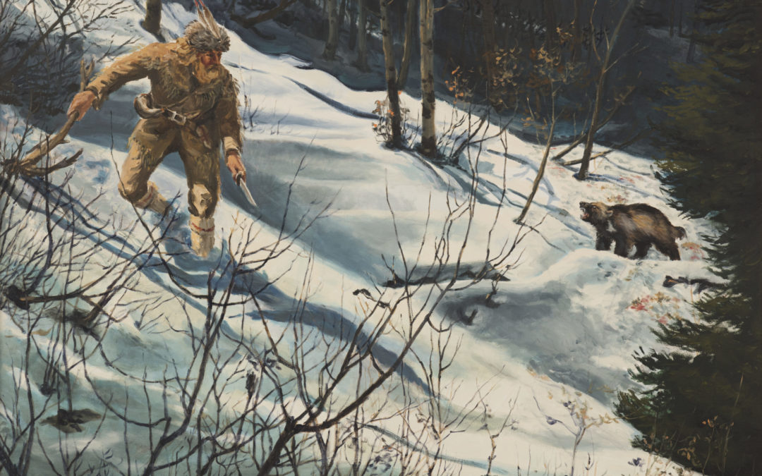
Osborne Russell Confronts Wolverine HISTORIC MARKER 1625 E. 650 N., Kaysville, Utah – (Wilderness Park)41° 02′ 48.9″ N • 111° 54′ 17.1″ W During the winter of 1840-41, trapper Osborne Russell wintered with a group of mountaineers,...
by JRobins | Mar 1, 2025 | Historic Marker
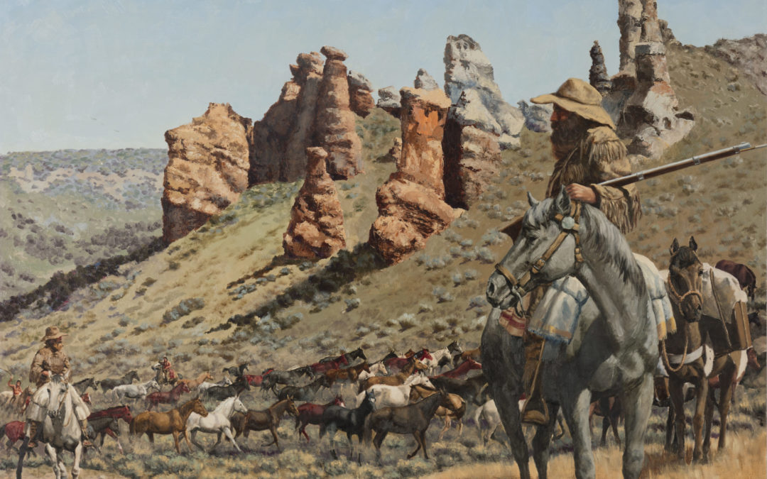
Miles Goodyear Horse Drive HISTORIC MARKER 1285 S. Angel St. Kaysville, Utah – (Pioneer Park)41° 00′ 50.7″ N • 111° 57′ 29.6″ W Miles Goodyear obtained a herd of horses with the intent to trade with emigrants along the Overland Trail....
by JRobins | Mar 1, 2025 | Historic Marker
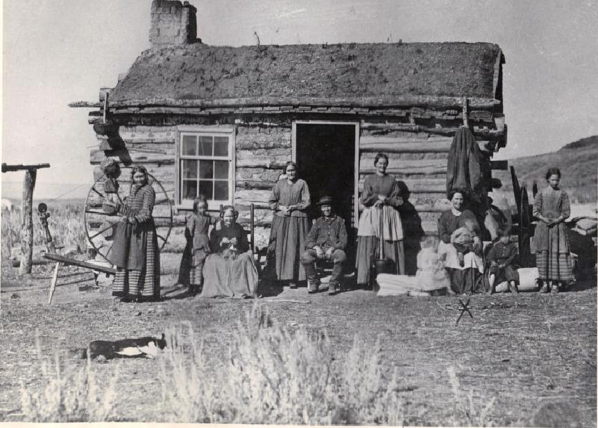
Bunting Family Cabin HISTORIC MARKER 470 N. Mountain Road, Fruit Heights, UtahJust North of the 400 North Overpass41° 02′ 31.8″ N • 111° 54′ 33.5″ W Ann Slater Bunting’s family is shown gathered in front of a cabin near the mountain at the...
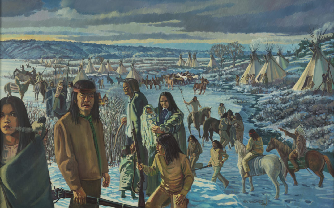
by JRobins | Jun 24, 2025 | Historic Marker
Massacre At Boa Ogo (Bear River) HISTORIC MARKER Fort Buenaventura41° 12′ 53.3″ N • 111° 59′ 23.8″ W The Bear River Massacre, also known as the Massacre at Boa Ogoi, occurred on January 29, 1863, near present-day Preston, Idaho, marking one...
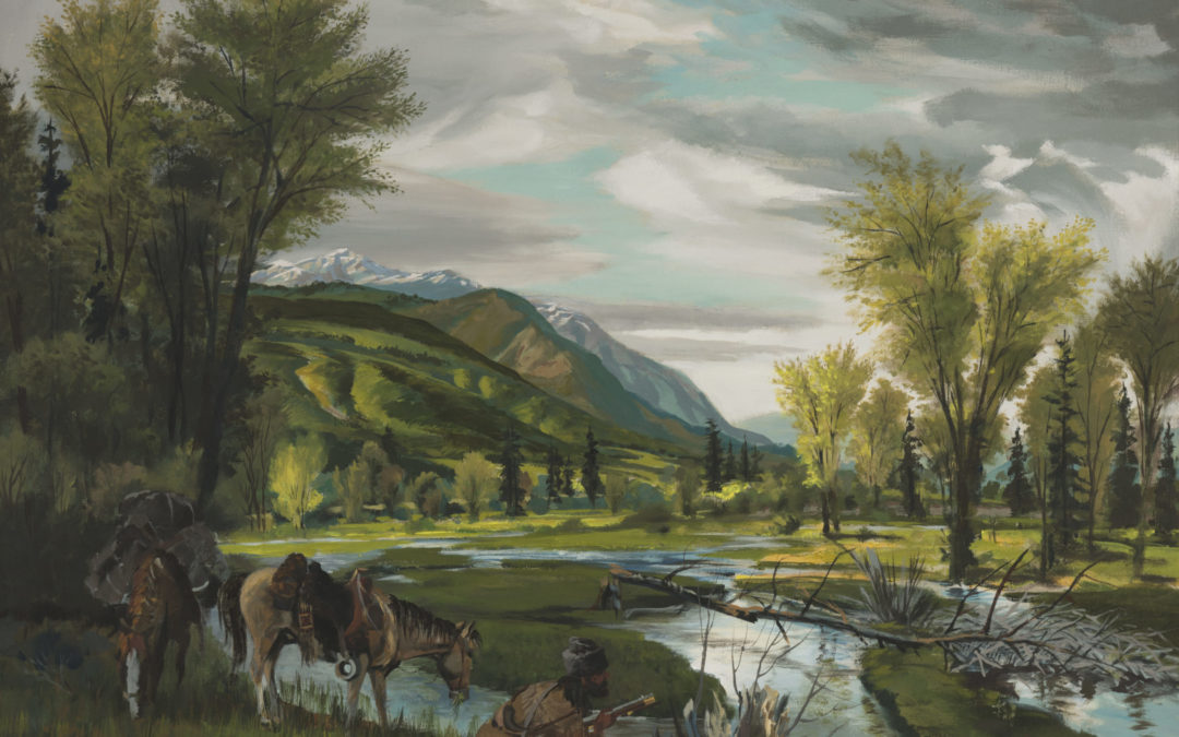
by JRobins | Jun 24, 2025 | Historic Marker
Peter Skene Ogden HISTORIC MARKER Fort Buenaventura41° 12′ 53.3″ N • 111° 59′ 23.8″ W In the spring of 1825, Peter Skene Ogden led a Hudson’s Bay Company (HBC) expedition into what became known as Ogden Hole, now Ogden Valley in...
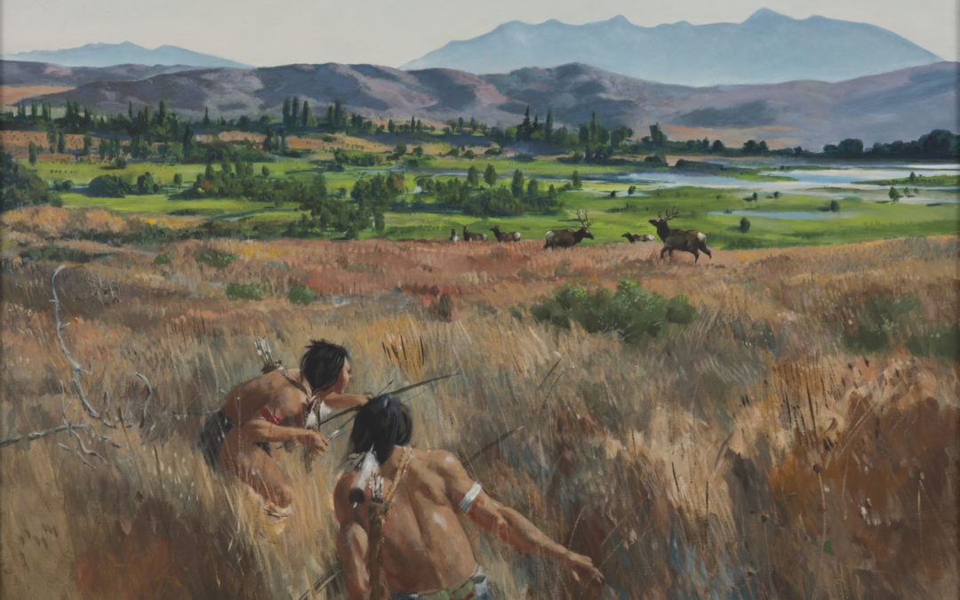
by JRobins | Jun 24, 2025 | Historic Marker
Shoshoni Stalking Elk HISTORIC MARKER Fort Buenaventura41° 12′ 53.3″ N • 111° 59′ 23.8″ W Before the fur trade era, which began significantly impacting the Intermountain West around the early 19th century, the Shoshone people thrived across a...


